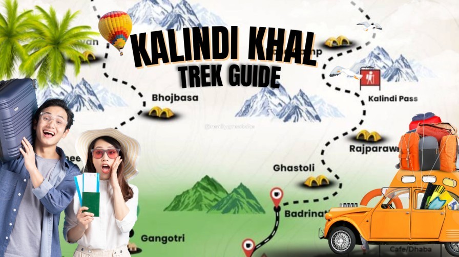
The Kalindi Khal Trek Guide is for trekkers who dream of tackling one of the most extreme high-altitude expeditions in the Indian Himalayas. Known for its raw beauty, glacial crossings, and technical terrain, the Kalindi Khal Trek is often considered the toughest trekking trail in India. If you want a complete breakdown of the Kalindi Khal Trek Route, difficulty level, ideal season, and preparation tips, this guide covers it all in simple, beginner-friendly language. What Makes the Kalindi Khal Trek Special? This legendary trail connects Gangotri in Uttarakhand to Badrinath, crossing the massive Kalindi Pass at 5,947 m. You walk through crevassed glaciers, moraine fields, ice walls, and pristine alpine valleys terrain rarely seen on regular Himalayan treks. Kalindi Khal Trek Route Overview The Kalindi Khal Trek Route from Delhi to Delhi outlines the complete journey starting from Delhi, traveling to Gangotri, crossing the Kalindi Khal Pass, and ending at Badrinath before returning to Delhi. It includes all travel segments, acclimatization days, and high-altitude camps for better planning. The table below offers a clear day-wise breakdown of the entire expedition. Day Route / Activity Distance / Duration Altitude Notes Day 1 Delhi → Dehradun 250 km / 5–6 hrs 430 m Travel by flight/train/bus. Overnight in Dehradun. Day 2 Dehradun → Uttarkashi 170 km / 6–7 hrs 1,165 m Road journey; permits can be arranged here. Day 3 Uttarkashi → Gangotri 95 km / 4–5 hrs 3,100 m Start acclimatization; visit Gangotri Temple. Day 4 Gangotri → Bhojbasa 14 km trek / 5–6 hrs 3,800 m Gradual ascent along the Bhagirathi River. Day 5 Bhojbasa → Gaumukh → Tapovan 9–10 km / 6–7 hrs 4,463 m Gaumukh glacier viewpoint and steep climb to Tapovan. Day 6 Tapovan → Nandanvan 6–7 km / 4–5 hrs 4,500 m Traverse over the Gangotri Glacier. Day 7 Nandanvan → Vasuki Tal 7–8 km / 5–6 hrs 4,800 m Rocky sections and glacier crossings. Day 8 Vasuki Tal → Khara Patthar 6–7 km / 5 hrs 5,100 m High-altitude terrain; gradual but continuous ascent. Day 9 Khara Patthar → Suralaya Glacier / Kalindi Base 5–7 km / 4–5 hrs ~5,400 m Camp before the pass; technical terrain. Day 10 Cross Kalindi Khal Pass (5,947 m) → Raj Parav 10–12 hrs 5,947 m Toughest day; long glacier walks and ropework required. Day 11 Raj Parav → Ghastoli 10–12 km / 6–7 hrs 3,800 m Disconnect from glacier zone; army check post. Day 12 Ghastoli → Mana Village → Badrinath 15 km / 5–6 hrs 3,100 m Road connectivity starts at Mana. Day 13 Badrinath → Joshimath → Rishikesh 300 km / 9–10 hrs 372 m Return journey by road. Day 14 Rishikesh → Delhi 240 km / 5–6 hrs 430 m End of the Kalindi Khal Trek route. Highlights of the Route Kalindi Khal Trek Difficulty The Kalindi Khal Trek Difficulty is rated extremely challenging and is considered one of the toughest high-altitude treks in the Indian Himalayas. The route stays above 5,000 meters for several consecutive days, involves walking on glaciers, navigating deep crevasses, and using technical gear like crampons and ropes. Harsh weather, long trekking hours, and steep ascents demand excellent fitness, strong acclimatization, and prior experience with high-altitude or expedition-style trekking. The Kalindi Khal Trek Difficulty level is extremely challenging and suitable only for experienced trekkers or mountaineers. Why It’s Considered One of India’s Hardest Treks Who Should Attempt This Trek? If you’re new to expeditions, prepare with treks like Audens Col, Pangarchulla Peak, Stok Kangri (if open), or Kedartal. Kalindi Khal Trek Best Season (Season-Wise Breakdown) Understanding the season-wise conditions is crucial for planning the Kalindi Khal Trek, as weather directly impacts glacier stability, visibility, and safety. Here’s a detailed seasonal overview: Summer (May – Early June) Early Monsoon (Mid-June – Mid-July) – Best Season Peak Monsoon (Late July – August) Post-Monsoon (Early September – Early October) – Best Season Late Autumn & Winter (Mid-October – April) Kalindi Khal Trek – 12-Day Itinerary Day Route / Activity Distance / Duration Altitude Description Day 1 Arrive in Gangotri – 3,100 m Acclimatization, permit check, rest before the trek. Day 2 Gangotri → Bhojbasa 14 km / 5–6 hrs 3,800 m Trek along the Bhagirathi River via Chirbasa and rugged trails. Day 3 Bhojbasa → Gaumukh → Tapovan 9–10 km / 6–7 hrs 4,463 m Visit Gaumukh glacier, then climb steep sections to Tapovan. Day 4 Tapovan → Nandanvan 6–7 km / 4–5 hrs 4,500 m Traverse the Gangotri Glacier over rocks and ice. Day 5 Nandanvan → Vasuki Tal 7–8 km / 5–6 hrs 4,800 m Gradual ascent to a scenic high-altitude lake surrounded by peaks. Day 6 Vasuki Tal → Khara Patthar 6–7 km / 5 hrs 5,100 m Rocky and snowy terrain ideal for acclimatization. Day 7 Khara Patthar → Kalindi Base 5–7 km / 4–5 hrs ~5,400 m Trek to the base of Kalindi Khal Pass (Suralaya Glacier). Day 8 Cross Kalindi Khal Pass → Raj Parav 10–12 hrs 5,947 m (Pass) Toughest day with glacier traverse and ropework. Day 9 Raj Parav → Arwa Valley / Near Ghastoli 10–12 km / 6–7 hrs ~4,000 m Descend from glacier zone to safer terrain. Day 10 Trek to Ghastoli Army Camp 8–10 km / 4–5 hrs 3,800 m Easier terrain with streams and moraines. Day 11 Ghastoli → Mana Village → Badrinath 15 km trek + drive 3,100 m Trek to Mana, then drive to Badrinath. Day 12 Depart from Badrinath – 3,100 m Trip ends; drive toward Rishikesh/Haridwar. FAQs 1. How difficult is the Kalindi Khal Trek? It is one of the toughest Himalayan treks, requiring glacier skills, high-altitude experience, and excellent fitness. 2. What is the best season for the Kalindi Khal Trek? Mid-June to mid-July and early September to early October are the safest and most stable periods. 3. Do I need a guide for the trek? Yes. Due to glacier navigation and crevasse zones, a certified guide is mandatory. 4. How long is the Kalindi